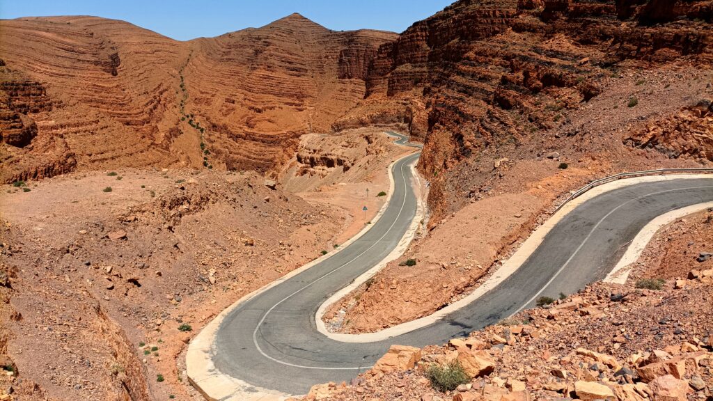
Ouarzazate, High Atlas, and Taroudant
I ride into a city frozen in time. Ouarzazate is holding its breath, waiting for sunset to start living again. I do the same before going on a hunt for beer. But during Ramadan, the very few shops selling alcohol are shuttered. I retreat to a hotel bar with thick carpets, dusty chandeliers, and fans spinning lazily on the ceiling. A waiter in an oversized white jacket, polished shoes, and an impeccable mustache—dripping with attention—points with a conspiratorial air toward a corner of the terrace under the stars. That’s where the beer will be coldest, he assures me. Walking back to my hotel, what a surprise: the streets are swarming with life. After the breaking of the fast, cafes overflow and Ouarzazate hums with conversations, laughter, and the clinking of spoons against glasses of scalding tea. Entire families stroll by while merchants relight their stalls as if the night were a new day. The city, which seemed to be drowning earlier, finally breathes with full lungs.
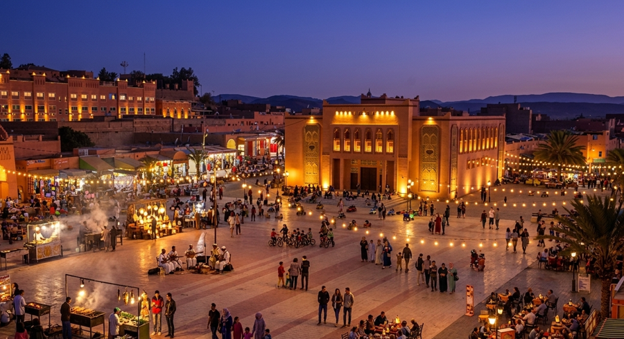
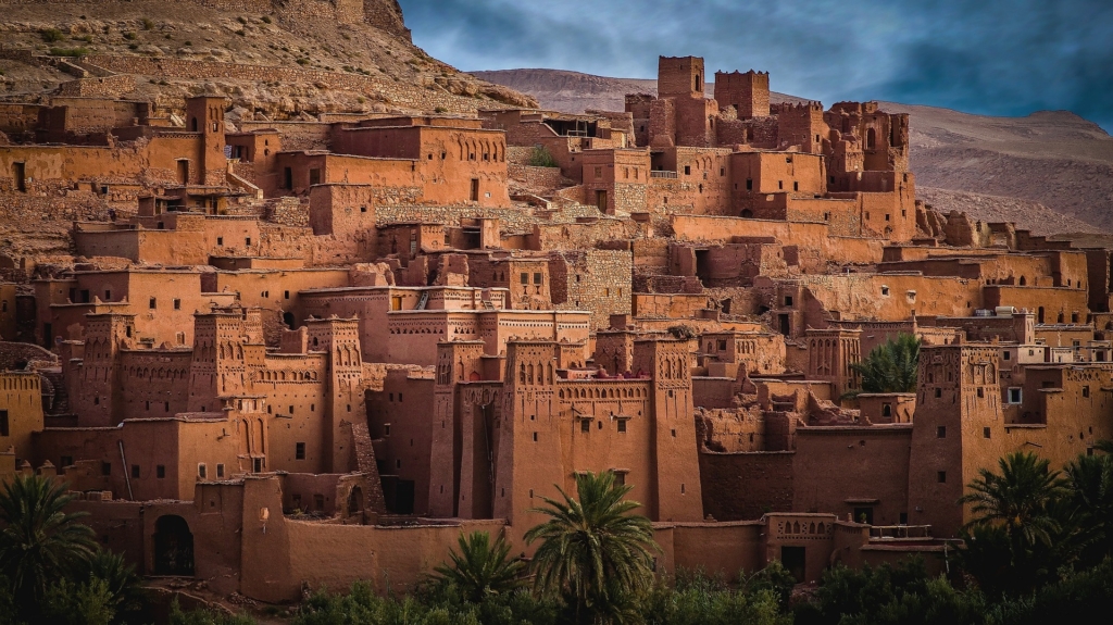
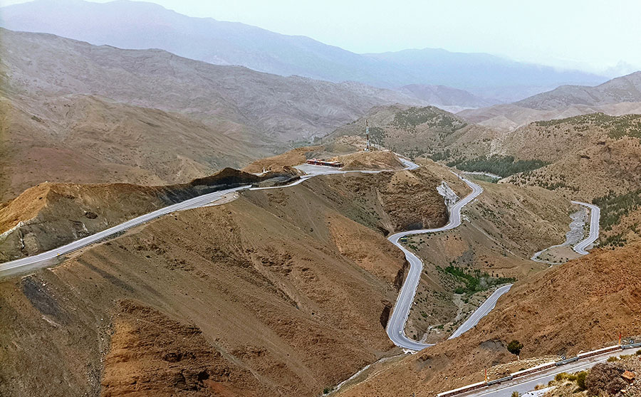
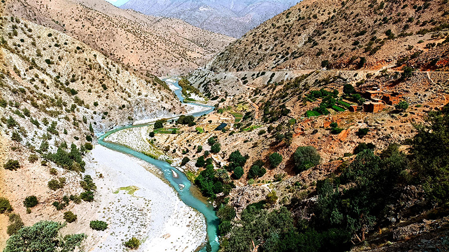
I prepare to fill mine with pure air on this new day that will lead me to the Tizi n’Tichka pass. At 2,260 meters, it is the highest paved pass in Morocco. Leaving Ouarzazate, the road first flies through a desert dotted with palms and ochre ksours before reaching Aït Benhaddou, a fortified mud-brick village that is the emblem of pre-Saharan architecture. The sight of the parking lot, choked with cars and buses, invites me to twist the throttle. Villages clinging to the red flanks of the Atlas—I’ll see plenty of them as the road rises in tight coils toward the red valleys of the high altitudes. As I climb, the air cools and the terrain unfolds into a succession of tormented ridges and luminous plateaus. The Tizi n’Tichka, perched above 2,260 meters, finally offers a spectacular passage between two worlds: the harshness of the South and the lush valleys plunging toward Marrakech.
A destination I carefully avoid; I have zero desire to trade my silent mountains for the circus of Jemaa el-Fna. A flick of the handlebars to the left to reach the Ourika Valley, then I dive South where the landscape regains a drier, mineral hue. A steady climb through century-old walnut trees leads me to Imlil, a Berber village and the mandatory starting point for the ascent of North Africa’s highest peak: the colossal Jebel Toubkal at 4,167 meters.

That morning, I’m hungry for mountains. The Tizi n’Test pass is waiting, and I already know it won’t be clean. The road attacks without warning. A patch of asphalt, a patch of sand, then rocks trying to buck you off your line. It’s a steep climb. It carves the mountain with tight hairpins, as if someone had forced the passage with a knife. The higher I go, the more it strips bare. Less air. More void. At 2,092 meters, the pass finally gives in. All at once. The mountain opens up and spits you out onto an immense balcony. On one side, the shoulders of the Toubkal massif. On the other, the dead drop toward the scorched Souss plain.
Unfortunately, six months after my passage, the September 2023 earthquake had a devastating impact on this mountain arc, hitting the axis between Imlil, the Tizi n’Test, and stretching to Taroudant. All those hamlets I rode through, and those hanging from the mountain that caught my eye, were reduced to dust.
After a dramatic and sustained descent southward, the road finally settles to dive into the vast Souss plains, where argan trees appear. I don’t deny myself the pleasure of letting go of the handlebars to join Saïd on the lovely roof terrace of his guesthouse, aptly named “Les Amis.” The rooms are of a delightful simplicity, tastefully decorated and pleasantly cool. A local boy, Saïd is never short of advice or rambling discussions about his country. He leads me to continue the conversation in the maze of the medina’s alleys, before dining at Place Assarag, a true open-air social theater.
The Anti-Atlas: Tafraout – Amtoudi – Aït Mansour Gorges
The next day, I regretfully leave my dear Saïd, but not before he assures me the rest of the trip will be a feast. The road first sinks into the plain, crossing stretches of argan trees and red-earth villages. Then the ascent to Igherm begins—steady, constant. Bit by bit, the wild, mineral landscapes of the Anti-Atlas reveal themselves. The road, as sinuous as one could wish, opens onto massive, naked mountains whose colors oscillate between deep red and blue-grey. And that’s just a teaser. After Igherm, the dark reliefs give way to a vast granitic cirque where the peaks are tinted pink, ochre, and orange. In the lineup of these powerful massifs, nature plays with shadows and shapes, revealing the famous Lion’s Head watching over Tafraout. It’s love at first sight; I stay for six days.
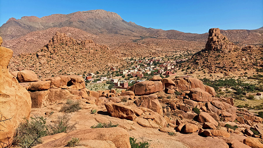
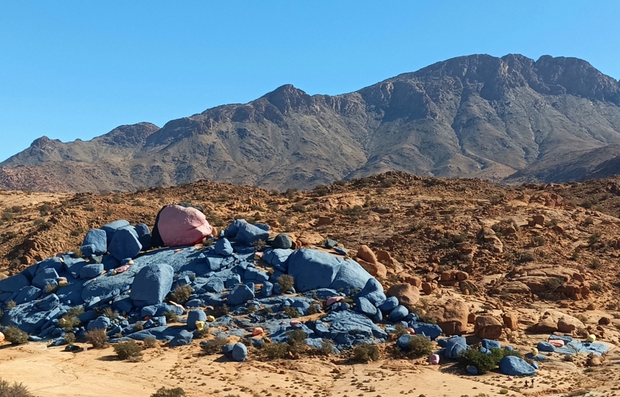
I leave my bike to rest; she’s been valiant with her modest 500ccs. Tafraout and its surroundings are a small paradise for hiking. I climb Jebel Lkest, famous for its rugged relief, heavily eroded quartzite rocks, and colors ranging from ochre to pinkish-red. Culminating at 2,359 meters, its summit offers a breathtaking panoramic view and a jarring contrast between the lush southern valleys and the desert horizon to the southwest. Descending to the village of Tagdicht at day’s end to the sound of the muezzin almost brought me to tears. The landscape around Tafraout truly feels like a vast mineral muddle. Pink granite boulders seem stacked at random, as if a giant hand had rolled them and then frozen them in improbable balances: round blocks balanced on a point, heaps of stone sculpted by erosion, enormous spheroids piled in tiers. Nature amused itself by drawing a literal Napoleon’s Hat, while Belgian artist Jean Vérame gave the landscape a monumental work of Land Art by painting immense granite blocks in vivid colors. Tafraout doesn’t try to seduce. It welcomes you, simply. Full cafes, honest plates, a hammam that sets your head straight, a beating evening market. Not much. But everything is right.
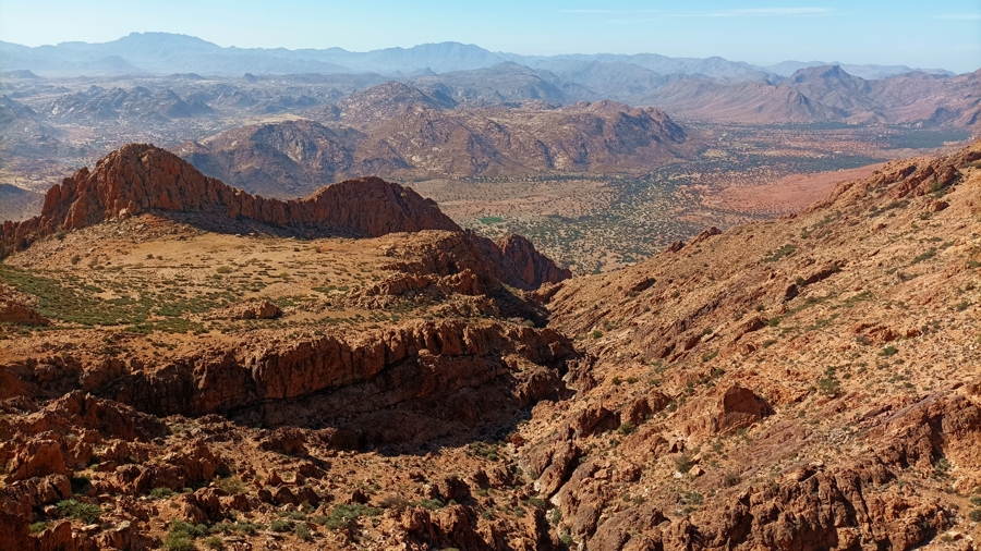
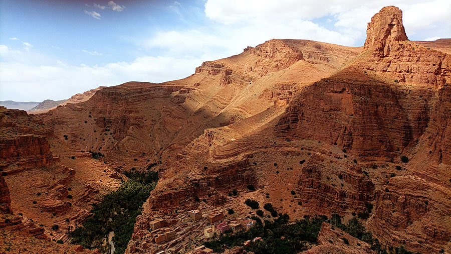
I slowly leave these pink granite clusters to slide into a more austere setting, where the mountain tightens and unfolds in ochre, purple, and anthracite strata. The highlight of this road is the arrival at Amtoudi. The view revealed is spectacular: a lush green oasis at the bottom of a gorge, dominated by two famous fortified collective granaries perched on rocky peaks. Barely arrived, I set out on foot toward the two peaks to catch the beautiful late-day light. Once again, the muezzin begins to chant; once again, I’m on the verge of tears.
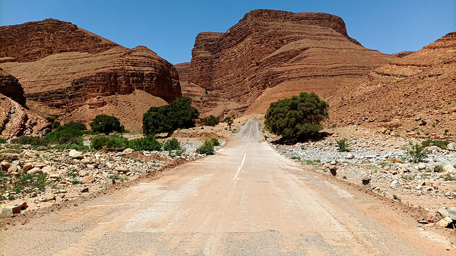

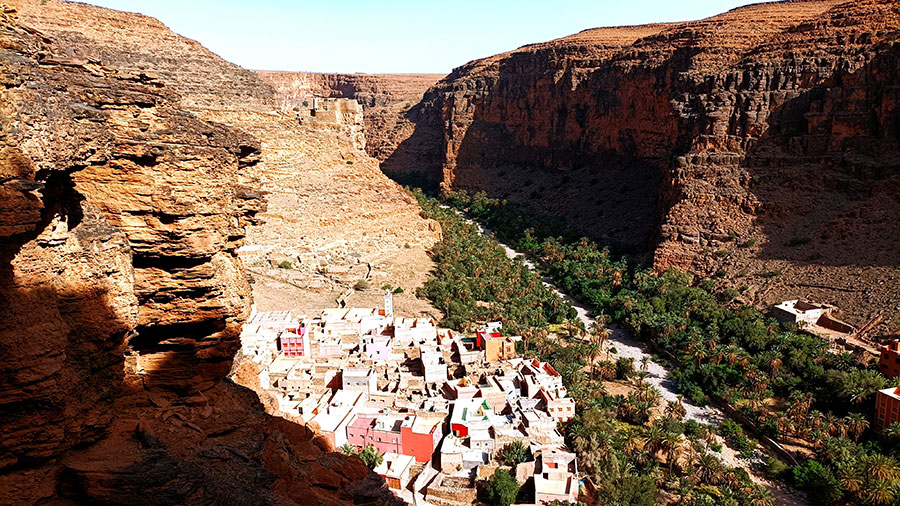
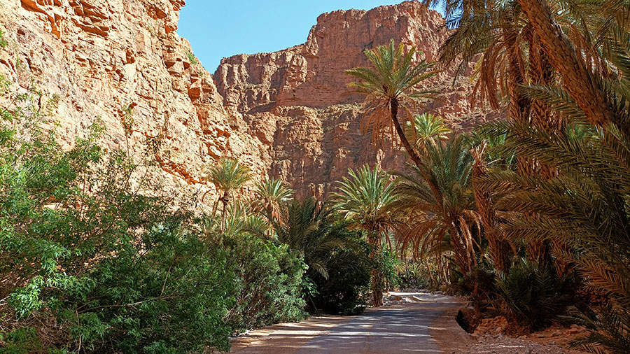
Sorry, I’m repeating myself… but this day leading to the Aït Mansour Gorges has something indecent about it. The road seems to float above a tormented relief, unrolling panoramas as far as the eye can see: desert plains, naked mountain ranges, uncompromising. After Izerbi, I head northeast. The landscape tightens bit by bit. Something is brewing. After miles of dry mountains, the scenery flips without warning: here I am at the foot of sheer cliffs, hundreds of meters high, draped in improbable shades from pink to salmon. I ride through the bottom of the canyon, caught in a dense palm grove where date palms and almond trees intertwine. Shadow, water, green—almost surreal after all that mineral. I stop at Abdou’s, known for miles around for his Berber omelet. It arrives steaming like a sunrise over the Anti-Atlas, swollen with herbs, tomatoes, onions, and that generous olive oil that doesn’t try to seduce, only to be honest.
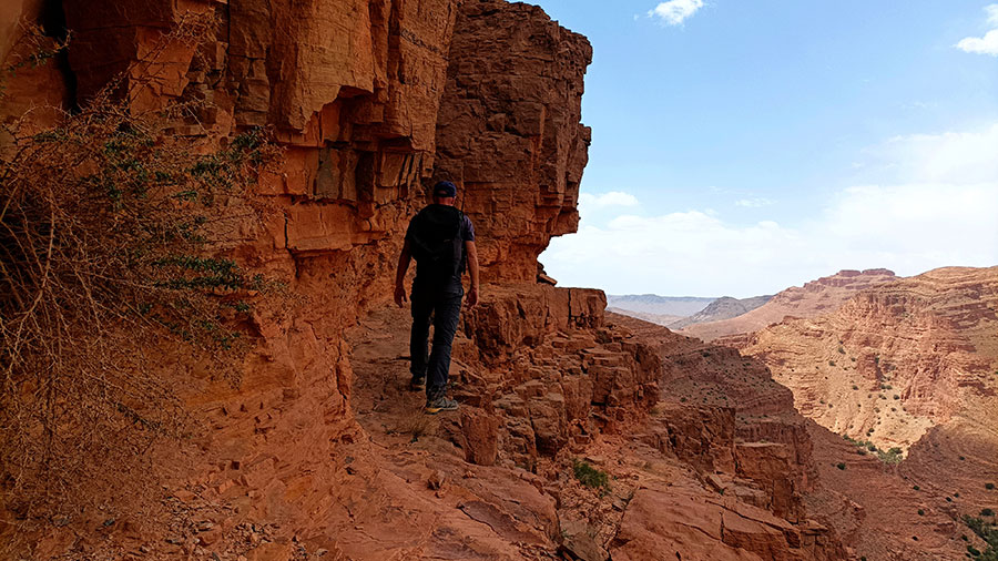
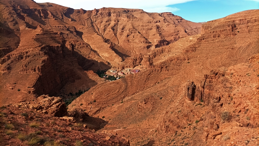
The next day, the temptation to walk through these rocky landscapes is too strong. Without directions or marked trails, I blaze my own path. I climb in search of grandiose panoramas, to physically feel the geological power of the place. Once high up, my gaze embraces the deep tear of the canyon: ochre and red walls collapsing toward the void, while below, the oasis appears as a tiny green ribbon, almost unreal, slashing through the crushing minerality of the mountains. It’s dizzying—and well worth the steep scramble through the scree, at the risk of breaking an ankle.